Sacred city of the Hittite Storm God at the Black Sea threshold
At inland Central Black Sea, Oymaağaç Höyük investigates the Hittite holy city of Nerik through tablets, monumental temple architecture and a subterranean water structure, together with northern frontier and Kaška relations.
✓The institutional relationship is verified against official project and institution pages.
01
Evidence at a glance
01
Survey began in 2005 and excavation in 2007
02
Twenty-seven cuneiform tablets had been found by 2024
03
The 52-step subterranean water structure extends 22 metres
04
A principal excavated Hittite centre in the Central Black Sea region
02
Read the site layer by layer
01
Locating Nerik
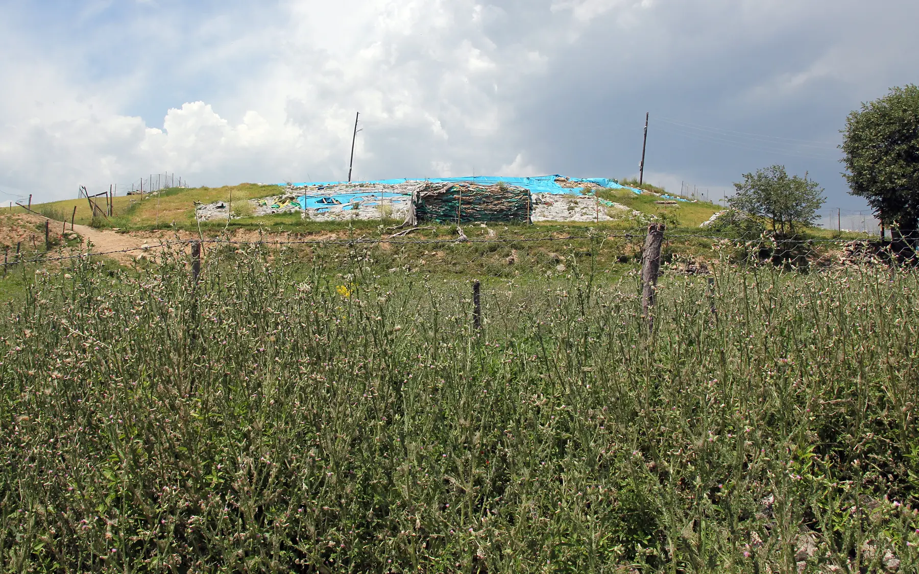
Tablets from Oymaağaç naming Nerik and its local sacred context strongly support the mound's identification with the ancient city. Topography, route systems and texts are tested against the archaeological sequence.
The excavation at Oymaağaç Höyük, identified with ancient Nerik.Captured: 2019Photo: Ingeborg SimonWikimedia Commons ↗CC BY-SA 3.0 ↗Cropped for web
02
Temple and sacred water
Monumental buildings and a 52-step structure cut into the travertine provide an exceptional setting for studying water and the Storm God's cult. Corridor, stair and spring chamber survive as one connected system.
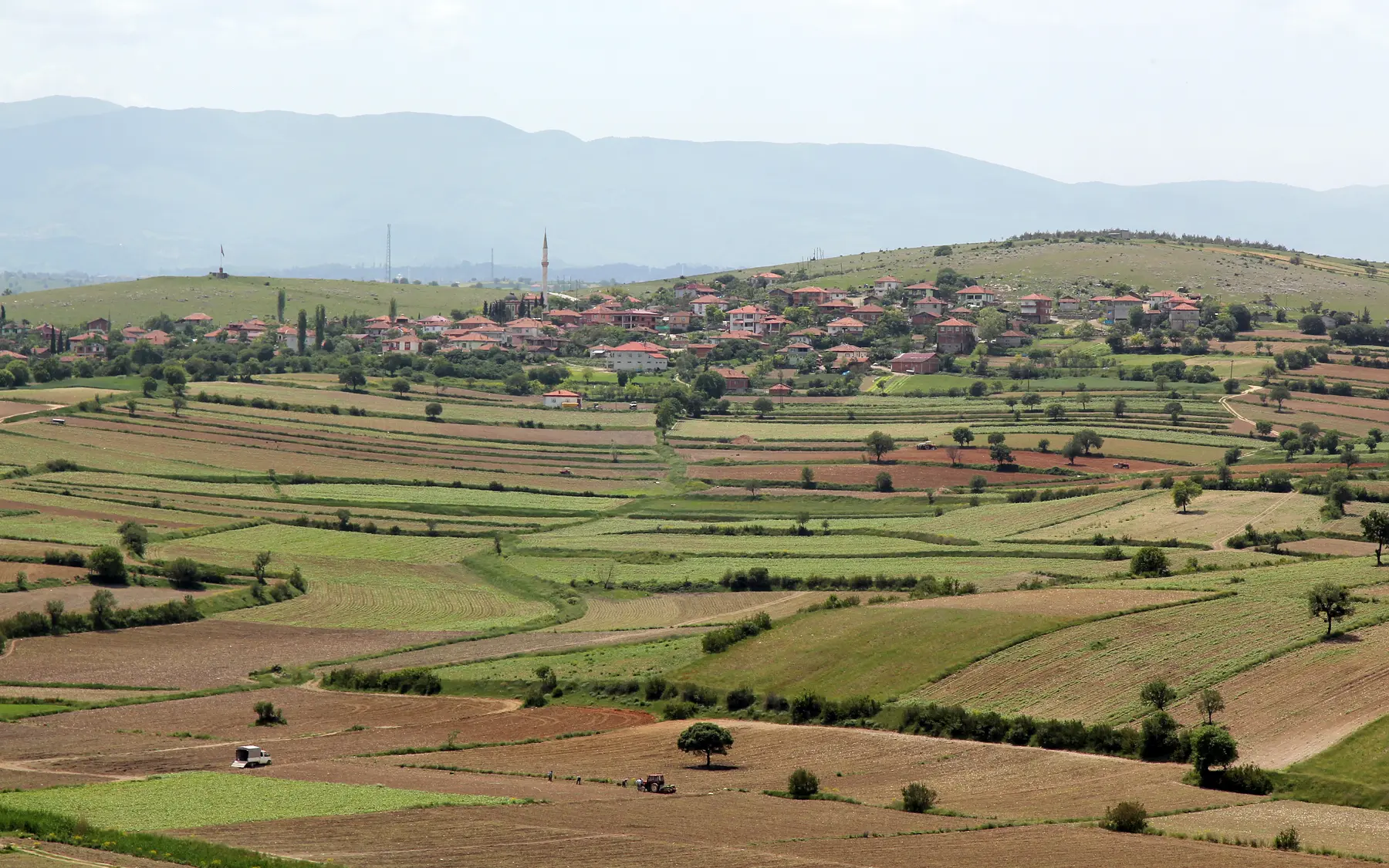
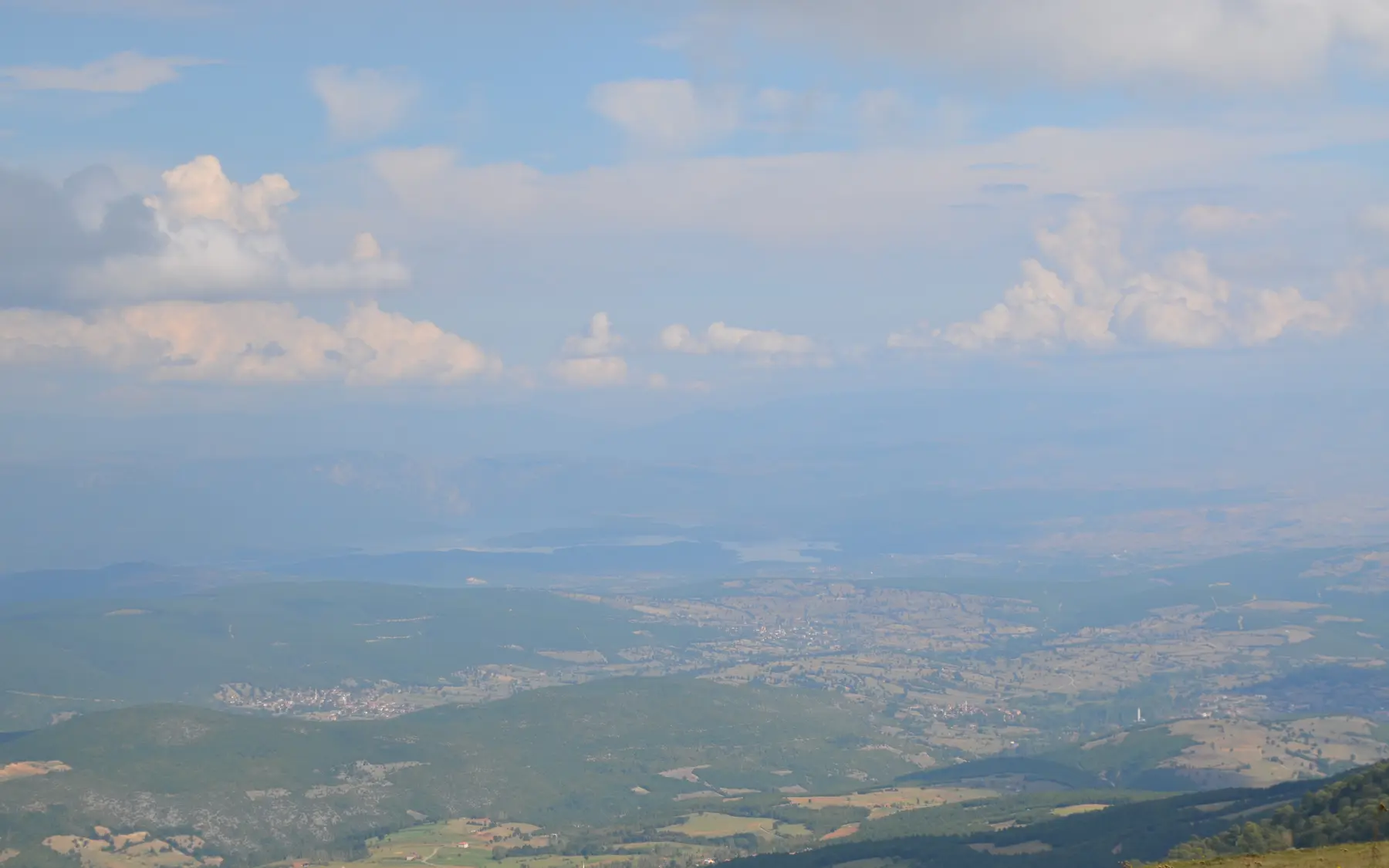
View from Oymaağaç Höyük across the village and agricultural Vezirköprü basin.Captured: 2019Photo: Ingeborg SimonWikimedia Commons ↗CC BY-SA 3.0 ↗Cropped for web
03
Black Sea ecology and production
Archaeobotanical research uses cereals, pulses and other plant remains to reconstruct food and farming. Climate and terrain at the Black Sea transition place Nerik in an ecological system unlike central Anatolian cities.
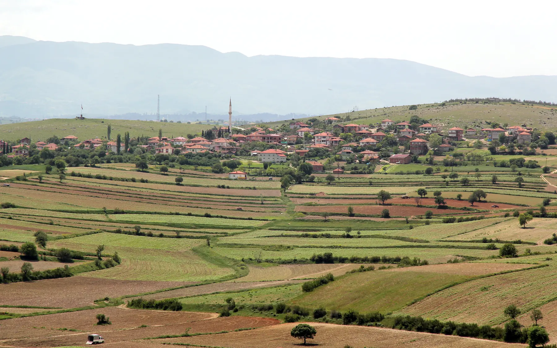
Village, fields and northern Anatolian mountain ranges around Nerik.Captured: 2019Photo: Ingeborg SimonWikimedia Commons ↗CC BY-SA 3.0 ↗Cropped for web
04
Kaška frontier and continuity
Hittite texts frame Nerik through northern conflict, but archaeology does not reduce local communities to the language of royal records. Middle Bronze, Hittite and Iron Age layers test local continuity as well as change.
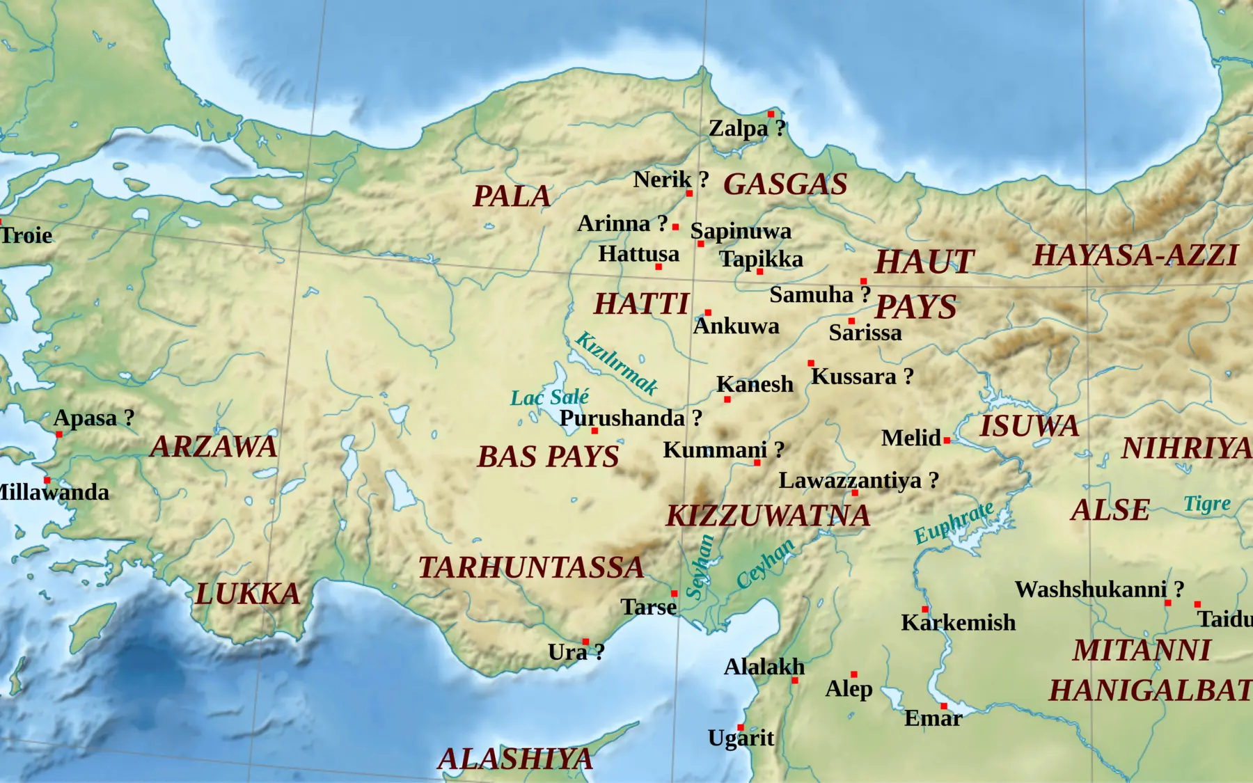
Context map of Hittite Anatolia showing Nerik, Hattusa, Šarišša and Šamuha.Captured: 2011Photo: ZunkirWikimedia Commons ↗CC BY-SA 3.0 ↗Cropped for web
05
Excavation, conservation and digital recording
Work since 2007 combines stratigraphic excavation, tablet studies, plant remains, photogrammetry and in-situ conservation. Three-dimensional recording of the subterranean structure directly supports research and protection decisions.
The Vezirköprü–Kunduz upland landscape, contextualising Nerik at the Black Sea transition.Captured: 2015Photo: sami yılmazWikimedia Commons ↗CC BY 3.0 ↗Cropped for web
Through an Archaeologist's Eye
What should you notice in the field?
◎
What deserves attention on site?
Read mound, spring water, agricultural plain and northern mountains as one sacred landscape.
≋
How should this layer be read?
Compare Hittite and Iron Age evidence without assuming a clean break, testing continuity in local production and use.
△
What is the common misreading?
Nerik's location is not based on textual tradition alone; tablets, architecture, water structure and topography converge.
These boxes do not claim personal discoveries. They are field-reading questions grounded in published archaeological context. Verifiable original observations by Ersin İğde are added separately and explicitly labelled.
Field mode
Prepare the file before your visit
Save the page for offline use, open the coordinates, use the checklist and keep personal notes only on this device.
Notes are not sent to the server; they stay in this browser's local storage.
✦
Why does it matter?
Nerik
Nerik extends Hittite geography beyond the capital and central plateau, bringing a northern cult centre, environment, farming and frontier relations into one excavation record.
Weekly currency system
Nerik dossier added
Coordinates, tablet count, subterranean water structure and current methods were verified through institutional and peer-reviewed sources.