Hittite cult and administrative centre on the Kızılırmak
On the north bank of the upper Kızılırmak, Kayalıpınar is a multi-period river settlement identified with ancient Šamuha through Old Assyrian exchange, Hittite monumental buildings and cuneiform tablets.
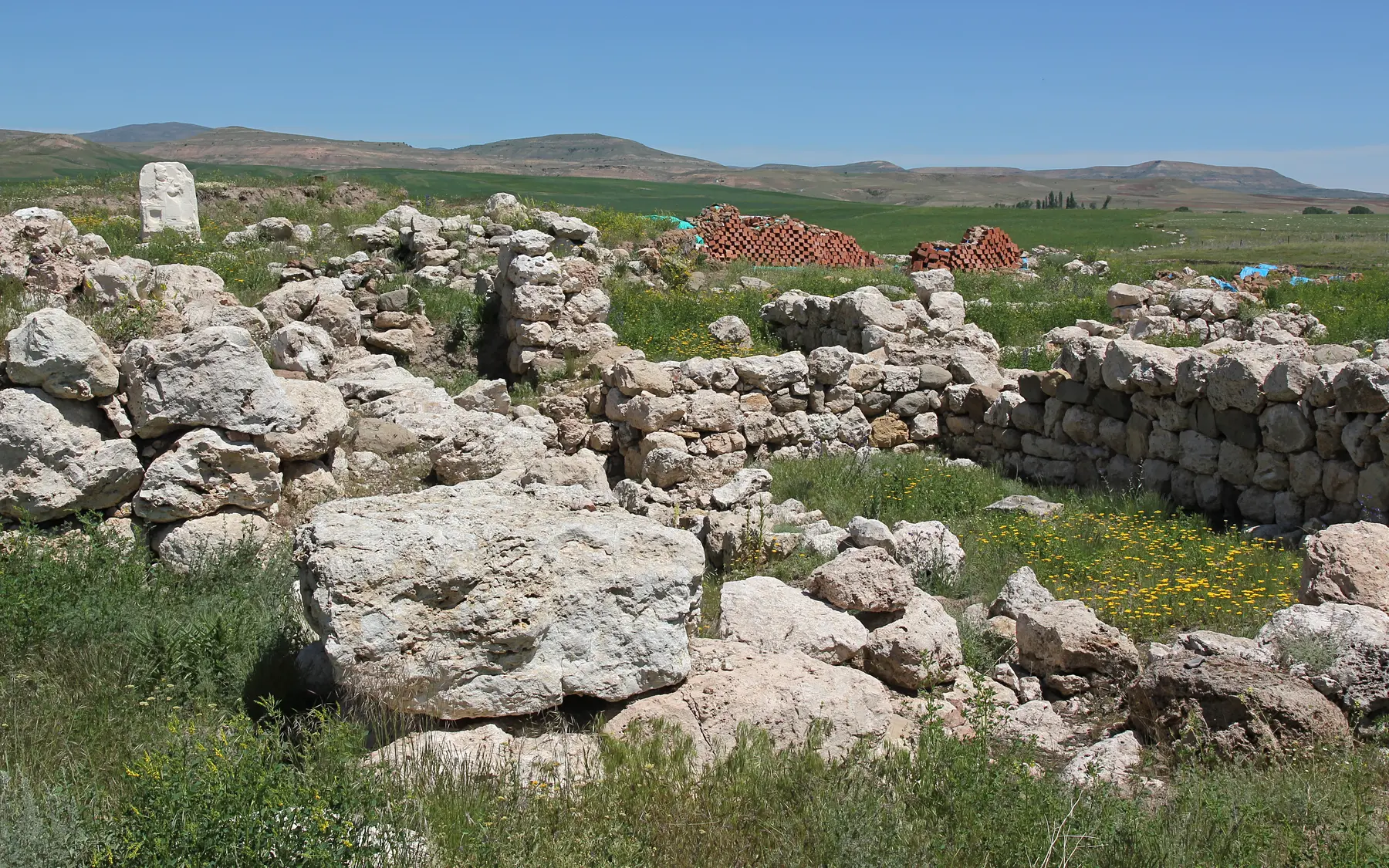
Hittite stone foundations and remains of monumental architecture at Kayalıpınar.Captured: 2019Photo: Ingeborg SimonWikimedia Commons ↗CC BY-SA 3.0 ↗Cropped for web
Location
Kayalıpınar, Yıldızeli, Sivas
Chronology
Chalcolithic–Roman; especially Middle and Late Bronze Age
Research / protection
Active excavation · New phase since 2022
WGS84 reference
39.6197° N · 36.5282° E
Research identity
Excavation and scientific lead
The new excavation phase at Kayalıpınar is led through Koç University ARHA, combining stratigraphy, monumental architecture and conservation.
✓The institutional relationship is verified against official project and institution pages.
01
Evidence at a glance
01
The first cuneiform tablet was found in 1999
02
Systematic excavation began in 2005
03
A new excavation phase has continued since 2022
04
Tablets support the Kayalıpınar–Šamuha identification
02
Read the site layer by layer
01
River crossing and regional network
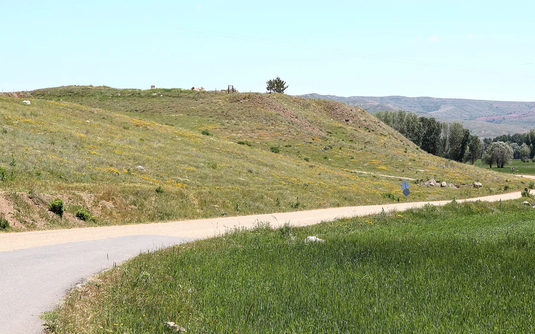
Kayalıpınar's position on the Kızılırmak was decisive for a centre controlling routes through the Upper Land. The river was not only a boundary; it was a corridor for people, materials and information.
The Kayalıpınar settlement area within the upper Kızılırmak landscape.Captured: 2019Photo: Ingeborg SimonWikimedia Commons ↗CC BY-SA 3.0 ↗Cropped for web
02
Old Assyrian trading layers
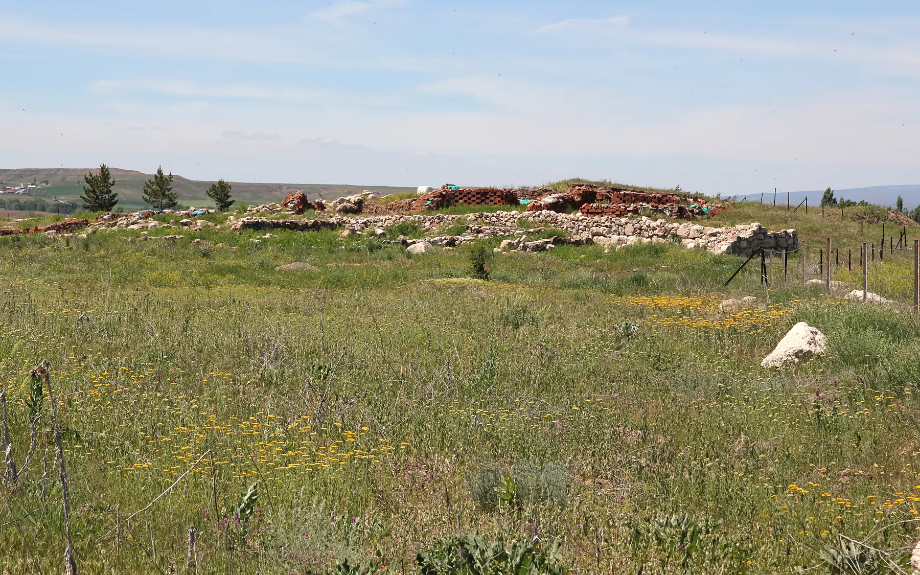
Middle Bronze Age levels provide evidence for the commercial world connected to Anatolia's kārum and wabartum network. Ceramics, sealings and architecture reveal regional relations before the Hittite imperial system.
The Kayalıpınar excavation area within the mound and farming landscape.Captured: 2019Photo: Ingeborg SimonWikimedia Commons ↗CC BY-SA 3.0 ↗Cropped for web
03
Hittite palace and monumental architecture
Large Late Bronze Age buildings, courts and spaces of representation point to Šamuha's combined administrative and cult roles. Building phases record fire, reconstruction and responses to political change.
Hittite stone foundations and remains of monumental architecture at Kayalıpınar.Captured: 2019Photo: Ingeborg SimonWikimedia Commons ↗CC BY-SA 3.0 ↗Cropped for web
04
Tablets, goddess cult and crisis
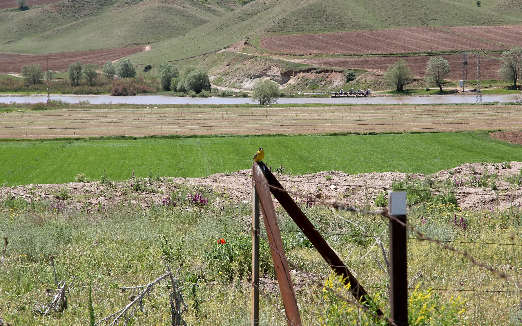
Place names, rituals and administrative acts in cuneiform support the identification with Šamuha. The cult of Ištar/Šauška of Šamuha explains the city's importance in Upper Land politics and moments of imperial crisis.
Building remains at Kayalıpınar against the agricultural plain of the Kızılırmak.Captured: 2019Photo: Ingeborg SimonWikimedia Commons ↗CC BY-SA 3.0 ↗Cropped for web
05
The new excavation phase
The Koç University-led programme reconnects earlier trenches with current questions in stratigraphy, archaeometry and conservation. Season reports publish monumental Hittite structures together with earlier and later layers.
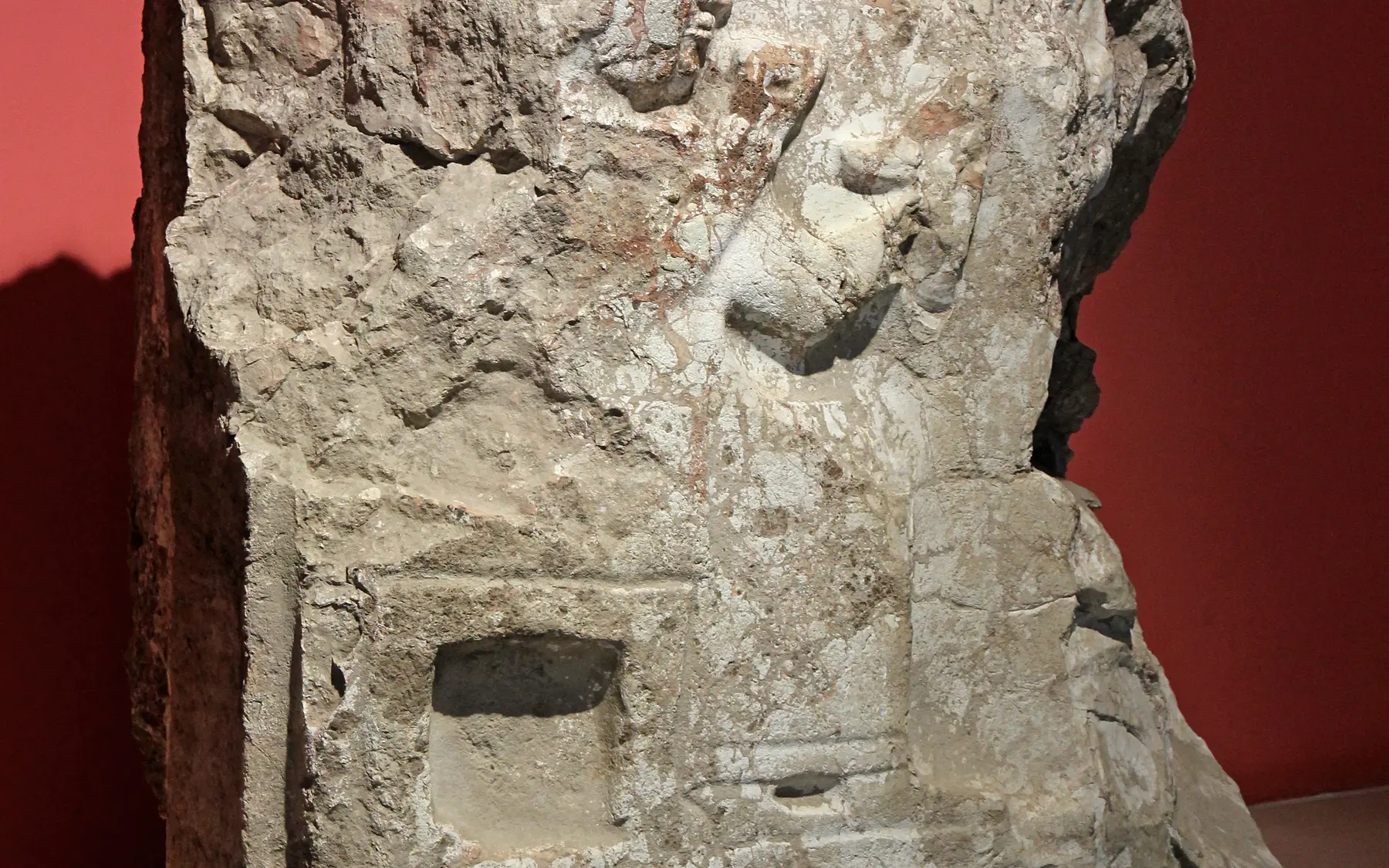
Relief stele from Kayalıpınar in Sivas Archaeological Museum.Captured: 2019Photo: Ingeborg SimonWikimedia Commons ↗CC BY-SA 3.0 ↗Cropped for web
Through an Archaeologist's Eye
What should you notice in the field?
◎
What deserves attention on site?
Relate monumental walls to the Kızılırmak plain, crossings and earlier settlement layers.
≋
How should this layer be read?
Old Assyrian and Hittite phases show the same crossing operating within different political economies.
△
What is the common misreading?
The Kayalıpınar–Šamuha identification rests on the tablet group, topography and architecture together, not one find.
These boxes do not claim personal discoveries. They are field-reading questions grounded in published archaeological context. Verifiable original observations by Ersin İğde are added separately and explicitly labelled.
Field mode
Prepare the file before your visit
Save the page for offline use, open the coordinates, use the checklist and keep personal notes only on this device.
Notes are not sent to the server; they stay in this browser's local storage.
✦
Why does it matter?
Šamuha (Samuha)
Šamuha joins a powerful Hittite cult and administrative centre known from texts to archaeological layers beside the Kızılırmak, grounding the historical geography of the Upper Land.
Weekly currency system
Šamuha dossier added
The new excavation phase and monumental-building evidence were aligned with open-access season reports.