On the western shore of Lake Küçükçekmece, the site connects Istanbul's prehistoric, Roman and Byzantine past with a protected lagoon, harbour activity and production.
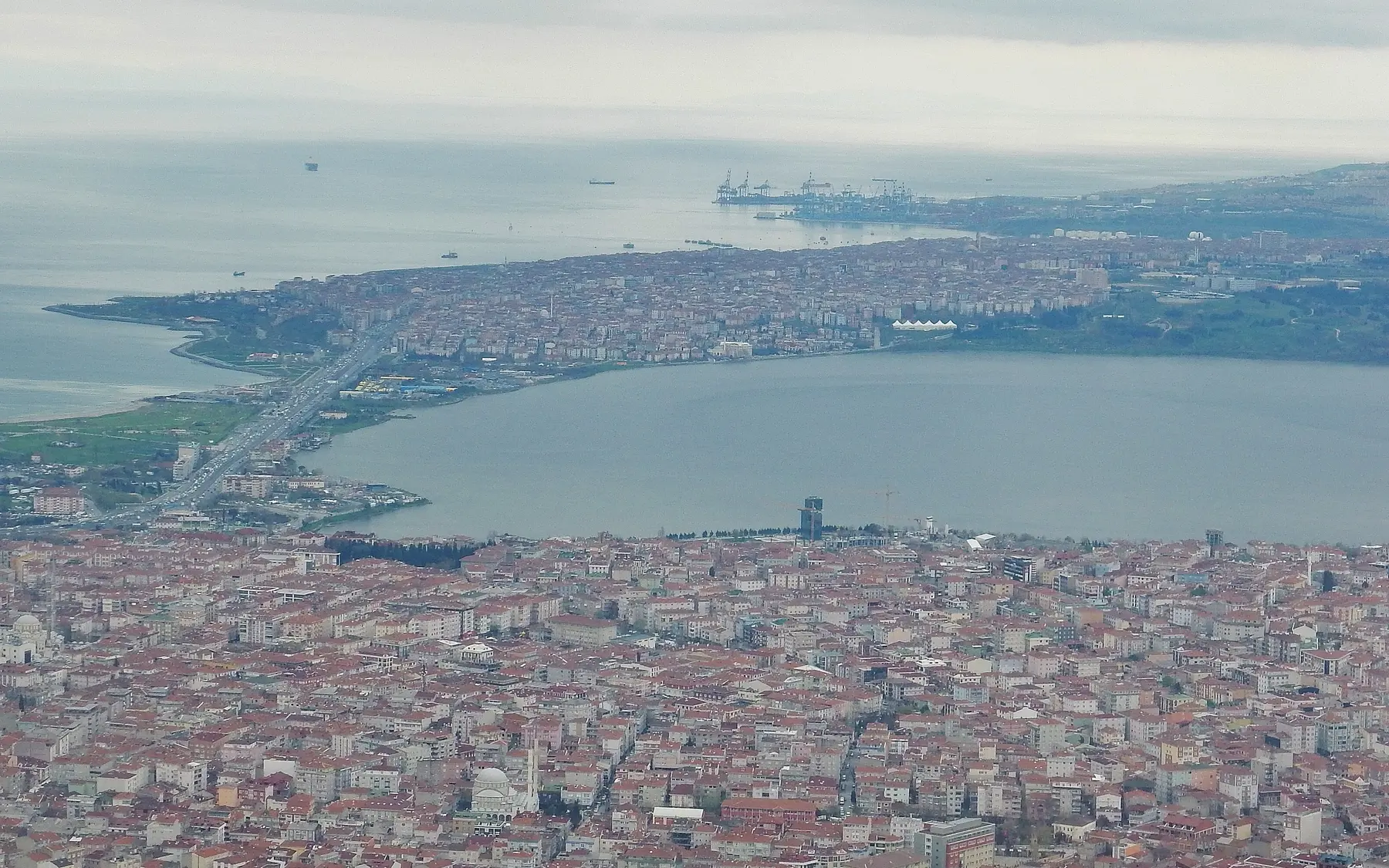
Aerial view of the Küçükçekmece lagoon and its Marmara connection, framing harbour and mobility.Captured: 2015Photo: qwesy qwesyWikimedia Commons ↗CC BY 3.0 ↗Cropped for web
Location
Lake Küçükçekmece, Istanbul
Chronology
Epipalaeolithic–Ottoman
Research / protection
Active excavation
WGS84 reference
41.021° N · 28.718° E
Research identity
Excavation and scientific lead
The Lake Küçükçekmece excavations are conducted by Kocaeli University's scientific team with ministerial authorisation and cooperation.
✓The institutional relationship is verified against official project and institution pages.
01
Evidence at a glance
01
Survey began in 2007
02
Systematic excavation since 2009
03
Scientific direction by Kocaeli University
04
Harbour, water and production structures studied together
02
Read the site layer by layer
Sources for this dossier are listed together in the bibliography below. Individual claims are marked at section level only when a direct source mapping has been verified.
01
Discovery and excavation
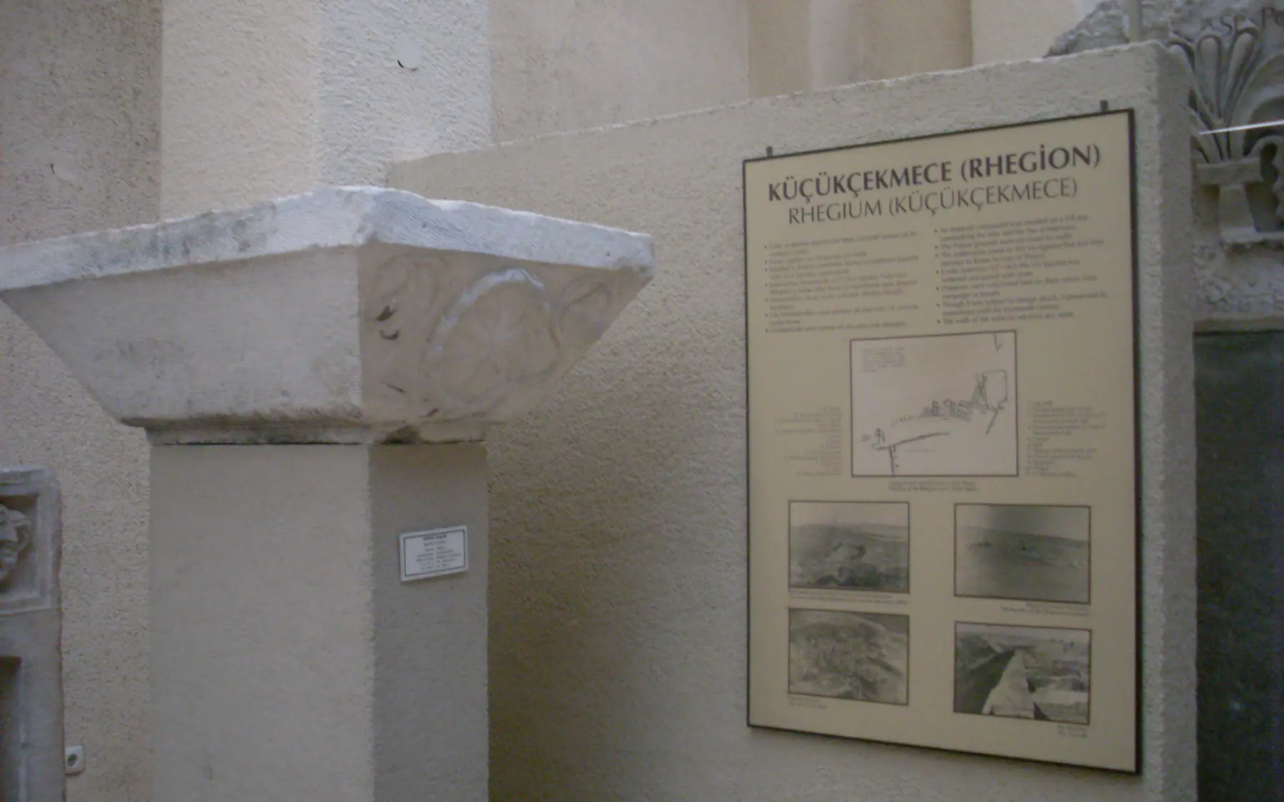
Research began with basin-wide survey in 2007 and became a systematic excavation under Prof. Şengül Aydıngün in 2009. The project studies settlement and environmental history together.
01
Stone find and interpretation panel from the Küçükçekmece settlement, Istanbul Archaeological Museums.Captured: 2013Photo: VikiPictureWikimedia Commons ↗CC BY-SA 3.0 ↗Cropped for web
02
A long sequence
Evidence ranges from prehistoric periods through the Hellenistic, Roman, Late Antique, Byzantine and Ottoman eras, revealing repeated use of the same lakeside landscape.
02
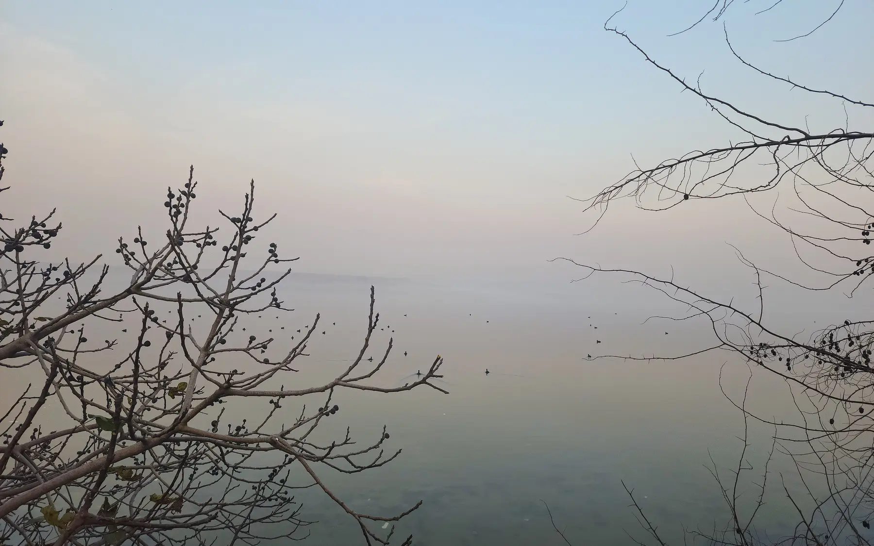
The misty shore of Lake Küçükçekmece, the wider landscape context of multi-layered Bathonea.Captured: 2023Photo: Abdulkadir ItriWikimedia Commons ↗CC BY-SA 4.0 ↗Cropped for web
03
Harbour, trade and production
The protected lagoon linked to the Sea of Marmara helps explain the harbour character. Waterfront, water-management and production remains illuminate food processing and regional circulation.
03
Aerial view of the Küçükçekmece lagoon and its Marmara connection, framing harbour and mobility.Captured: 2015Photo: qwesy qwesyWikimedia Commons ↗CC BY 3.0 ↗Cropped for web
04
Belief and daily life
Basilical buildings, religious small finds, pottery and production debris allow sacred and economic life in the Late Antique and Byzantine harbour community to be read together.
04
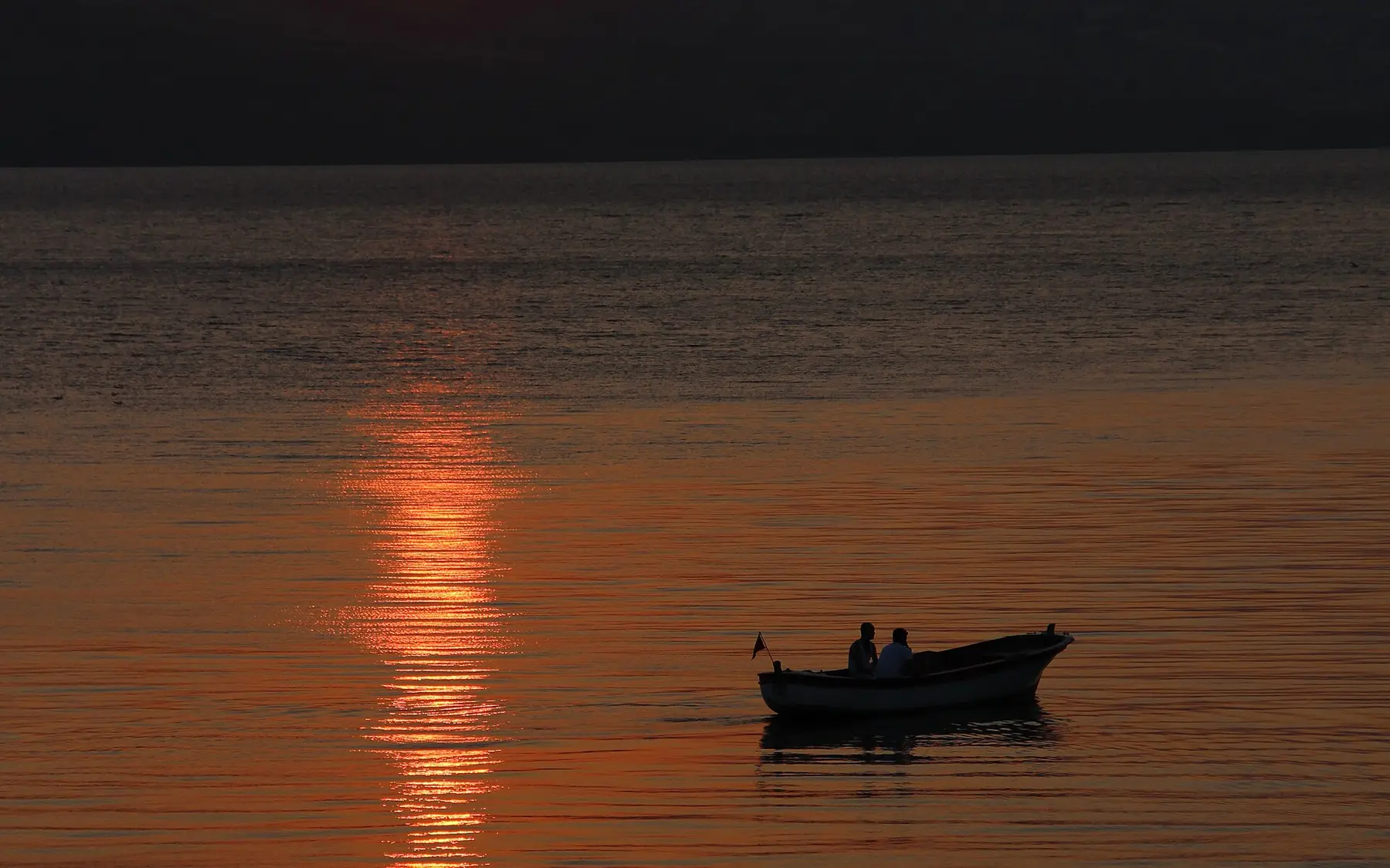
A fishing boat on Lake Küçükçekmece, a contextual view of daily life around the lagoon.Captured: 2013Photo: Hamdi GümüşWikimedia Commons ↗CC0 1.0 ↗Cropped for web
05
Research question
Bathonea asks how coastal settlements beyond the walled city supported Constantinople through provisioning, maritime transport and regional connections.
05
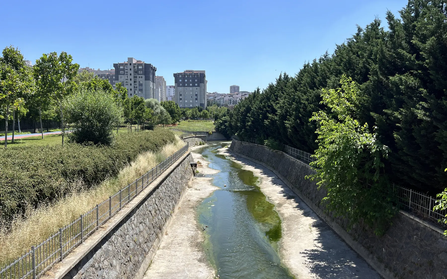
Menekşe Creek in 2025, a contextual image of the basin's waterways and changing shoreline.Captured: 2025Photo: SadrettinWikimedia Commons ↗CC BY-SA 4.0 ↗Cropped for web
Through an Archaeologist's Eye
What should you notice in the field?
◎
What deserves attention on site?
Read the shoreline, waterways and the buildings' relationship with the lake together.
≋
How should this layer be read?
Repeated use of the same shore is understood through stratigraphic continuity rather than one monument.
△
What is the common misreading?
Calling Bathonea only a 'Byzantine harbour' hides its prehistoric and later layers.
These boxes do not claim personal discoveries. They are field-reading questions grounded in published archaeological context. Verifiable original observations by Ersin İğde are added separately and explicitly labelled.
Field mode
Prepare the file before your visit
Save the page for offline use, open the coordinates, use the checklist and keep personal notes only on this device.


 Bathonea ExcavationsOpen official source Scientific leadKocaeli UniversityOpen official source