Read each place through chronology, fieldwork, trade networks, belief, daily life and conservation—not simply as a monument.
9 research files
Filter excavation sites9 / 9
Filter by period
Geographic reading
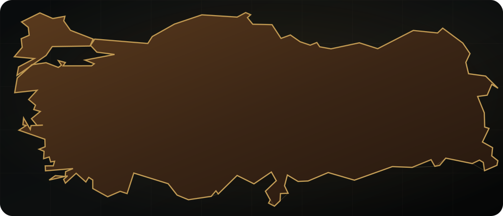
See every site in its correct context
Compare nine research files using verified WGS84 reference points. Selecting a site updates the map, chronology and field dossier together.
N250 km
07
Excavated building plan at Šarišša within its upland landscape.Captured: 2012Photo: Panegyrics of GranovetterWikimedia Commons ↗CC BY-SA 2.0 ↗Cropped for web
Selected research file
Šarišša (Sarissa)
A planned Hittite provincial centre in the Upper Land
8-minute read
At roughly 1,650 metres above sea level, Kuşaklı reveals the Hittite city of Šarišša through its walls, gates, temples, houses, water system and tablet archive—a planned provincial centre in the Upper Land.
Site Profile
Kuşaklı Höyük, Altınyayla, Sivas
Reference location
39.3083° N · 36.9097° E
Chronology
16th–13th centuries BCE; Iron Age layers
Protection / research
Research programme since 1992
Research identity
Excavation and scientific lead
The Kuşaklı research and publication programme is a long-term project of Marburg University's prehistoric archaeology unit, begun in 1992.
ⓘWhere an inventory number or precise layer cannot be verified in open sources, the record says so explicitly.
05
Archaeology database · Version 1.1
Nine files in one extensible data model
Province, coordinates, period, site type, research institution, excavation/conservation status, UNESCO record, update date and official source share one record.
The walls, four principal gates and street axes point to a deliberately designed city. Set on a high plateau, this system shows how planning principles known at the capital were adapted at provincial scale.
01
Kuşaklı Höyük and the high-plateau setting of Šarišša.Captured: 2002Photo: Klaus-Peter SimonWikimedia Commons ↗CC BY-SA 3.0 ↗Cropped for web
02
Temples and cult
Excavated temples show that Šarišša was a religious centre as well as an administrative and strategic one. Read with ritual texts, the architecture highlights seasonal festivals and the role of the local sacred landscape.
02
The excavated plan of a Hittite temple at Kuşaklı.Captured: 2002Photo: Klaus-Peter SimonWikimedia Commons ↗CC BY-SA 3.0 ↗Cropped for web
03
Tablets and the city's name
Cuneiform fragments from Building A document ritual, oracle and administrative practice. They strengthen the identification of Kuşaklı with ancient Šarišša and define its place within the imperial network.
03
Display of finds from Kuşaklı/Šarišša in Sivas Archaeological Museum.Captured: 2019Photo: Ingeborg SimonWikimedia Commons ↗CC BY-SA 3.0 ↗Cropped for web
04
Water management and upland economy
Dams and water installations show how water was planned in a high-altitude environment with demanding seasons. Agriculture, herding and regional routes help reconstruct the productive landscape around the city.
04
Preserved stone masonry at Šarišša in evening light.Captured: 2012Photo: Panegyrics of GranovetterWikimedia Commons ↗CC BY-SA 2.0 ↗Cropped for web
05
Research history and publication
The Philipps-Universität Marburg project begun in 1992 publishes architecture, ceramics, tablets and environmental evidence in detail. Archives and publication are as important to the site's interpretation as individual field seasons.
05
Excavated building plan at Šarišša within its upland landscape.Captured: 2012Photo: Panegyrics of GranovetterWikimedia Commons ↗CC BY-SA 2.0 ↗Cropped for web
Sources and further reading
Šarišša (Sarissa)
The editorial text is checked against official institutions, excavation teams and World Heritage sources.